
Hunt County, Texas
Oil wells and drilling locations near Commerce
- 0wells
- 0drilling locations in two years
Within 10 miles
Wells and drilling locations around Commerce
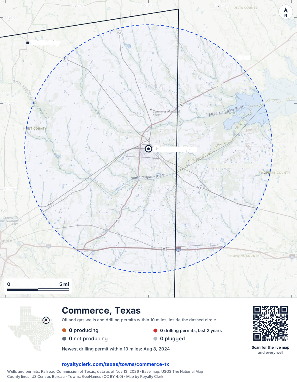
- Drilling locations0Permits issued in the last two years
- Producing wells0On a lease reporting production now
- Not producing0Shut in, inactive or no lease on record
- Plugged0The state's wellbore record says plugged
The dashed circle is 10 miles from the town's point (33.24706, -95.89997); the counts are for wells inside it. Sources: Railroad Commission of Texas well layers and permit files, US Census Bureau county outlines, town points from GeoNames (CC BY 4.0), base map from USGS The National Map.
Use this map on your site
You may show this map on any site, unchanged. Keep the credit line and its link to Royalty Clerk under the map. The picture updates by itself as the state records new wells and permits.
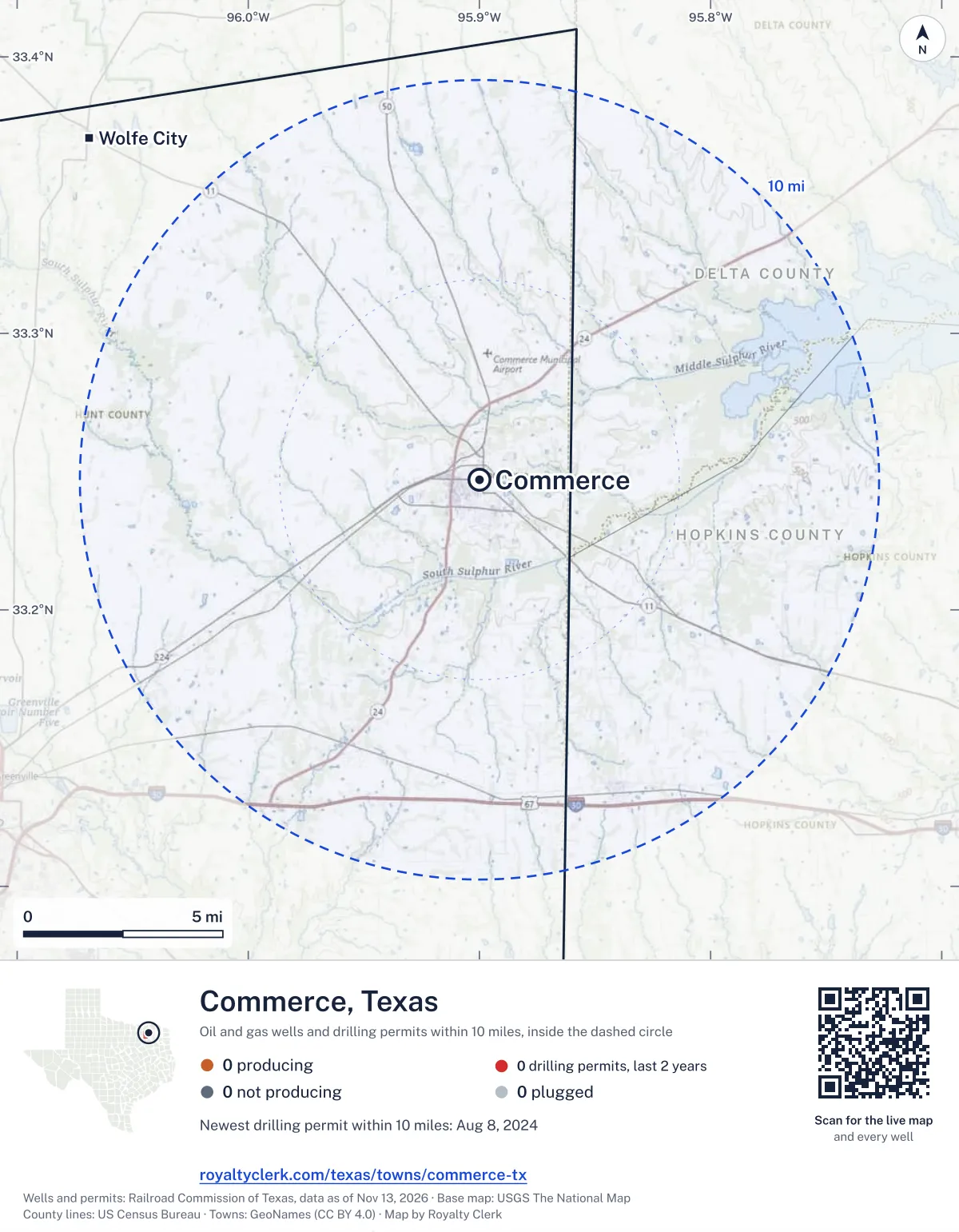
<a href="https://royaltyclerk.com/texas/towns/commerce-tx"><img src="https://royaltyclerk.com/maps/town-wells/commerce-tx.svg" alt="Map of Commerce, Texas: 0 wells and 0 recent drilling locations within 10 miles, inside a dashed circle." width="1000" height="1284" loading="lazy" style="max-width:100%;height:auto;border:0"></a>
<p style="margin:4px 0 0;font-size:14px">Map: <a href="https://royaltyclerk.com/texas/towns/commerce-tx">Commerce, Texas oil and gas wells</a> by Royalty Clerk, from Railroad Commission of Texas records</p>
In numbers
Oil and gas within 10 miles of Commerce
- wells with a location on the state's map
- 0
- drilling permits in the last 24 months
- 0
- producing leases with a well in the circle
- 0
- operators running them
- 0
- oil and condensate those leases reported in their latest 12 months
- 0 bbl
- gas those leases reported in their latest 12 months
- 0 mcf
A lease counts when at least one of its wells is inside the circle; its whole production is counted, so a lease reaching beyond the circle counts in full.
Drilling locations
The newest drilling permits near Commerce
| Issued | Lease and well | Where | Operator |
|---|---|---|---|
| 2024-08-08 | STROOPE 1vertical · API 42-231-30270 · permit 0901715Guardian Operating LLC | 5.7 mi SW33.18294, -95.96320 on OpenStreetMap (opens in a new tab) | Guardian Operating LLC |
A permit is permission to drill, not a well. Distances are from the town's point to the well's surface location. Source: Railroad Commission of Texas drilling permits.
Around it
Towns near Commerce
- Wolfe City13 mi NW0 wells · 0 permits
- Greenville14 mi SW4 wells · 1 permits
- Cooper15 mi NE35 wells · 0 permits
- Sulphur Springs19 mi SE7 wells · 1 permits
- Leonard22 mi NW0 wells · 0 permits
- Caddo Mills23 mi SW0 wells · 1 permits
- Honey Grove23 mi N0 wells · 0 permits
- West Tawakoni25 mi S5 wells · 1 permits
- Josephine27 mi SW0 wells · 1 permits
- Emory27 mi S53 wells · 2 permits
Commerce is in ZIP code 75428: its wells and permits
All of Hunt County: leases, operators and production · Hunt County well map
Follow it
Watch the 10 miles around Commerce
Watching a place says nothing about who owns the land or the minerals there. For the whole county, or one survey, use the Hunt County well watch.
FAQ
Questions people ask
How many oil and gas wells are near Commerce?
0 wells with a location on the Railroad Commission's map lie within 10 miles of Commerce: 0 on leases that are producing, 0 not producing and 0 plugged. The state issued no drilling permit with a well location in that circle in the last 24 months.
What are the coordinates on this page?
Latitude and longitude of the well's surface location in NAD83, the coordinates map apps use. They come from the Railroad Commission's well layers as published, and from its drilling permit files, which are published in the older NAD27 and converted here. Paste them into any map app. A horizontal well's bottom hole can be a mile or two away from its surface location.
Do I own minerals under a well near Commerce?
A well nearby says nothing about who owns the minerals under it. The county's mineral roll lists who is paid on each producing lease. Search a name to see whether the Hunt County roll lists it.
Is drilling near Commerce picking up or slowing down?
The state issued no drilling permit with a well location within 10 miles of Commerce in the last two years. The nearest one is 21 miles south of town, issued November 19, 2025. A permit is permission to drill, not a well.
My checks from a lease here stopped. Why?
The usual reasons: the lease stopped producing, a new operator took it over, or the operator put the payments in suspense over a title or address question.
Own land or minerals near Commerce?
See whether a county roll lists your name, and get an email when a permit or a new well is filed near you.
Sources
Primary sources, opened on 29 September 2026. Statute text is the current version on statutes.capitol.texas.gov.