
Nueces County, Texas
Oil and gas wells in and near ZIP code 78414
- 0wells inside the ZIP
- 1within 3 miles of it
- 0drilling locations in two years
- 14square miles of land
The ZIP code and 3 miles around it
Wells and drilling locations in and around 78414
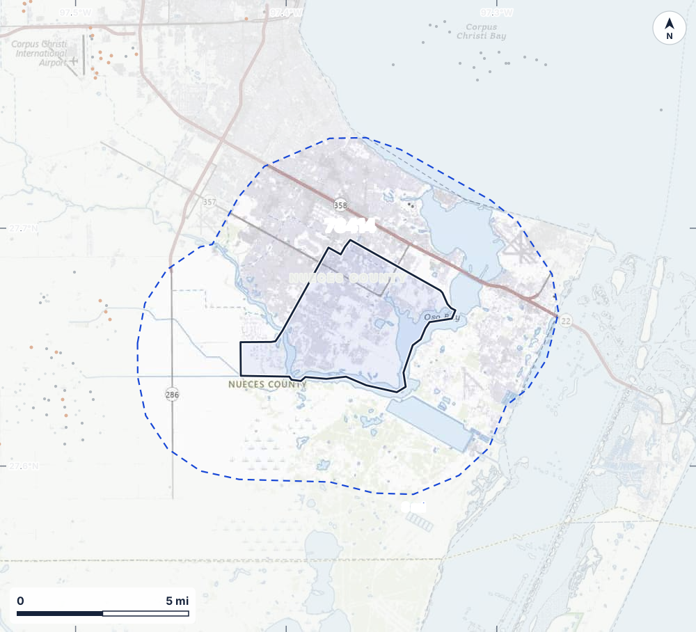
- Drilling locations0Permits issued in the last two years
- Producing wells0On a lease reporting production now
- Not producing0Shut in, inactive or no lease on record
- Plugged1The state's wellbore record says plugged
The solid line is ZIP code 78414 as the US Census Bureau draws it; the dashed line is 3 miles out. The counts are for everything inside the dashed line: 0 of the wells are inside the ZIP itself. Sources: Railroad Commission of Texas well layers and permit files, US Census Bureau ZIP Code Tabulation Areas and county outlines, town points from GeoNames (CC BY 4.0), base map from USGS The National Map.
Use this map on your site
You may show this map on any site, unchanged. Keep the credit line and its link to Royalty Clerk under the map. The picture updates by itself as the state records new wells and permits.
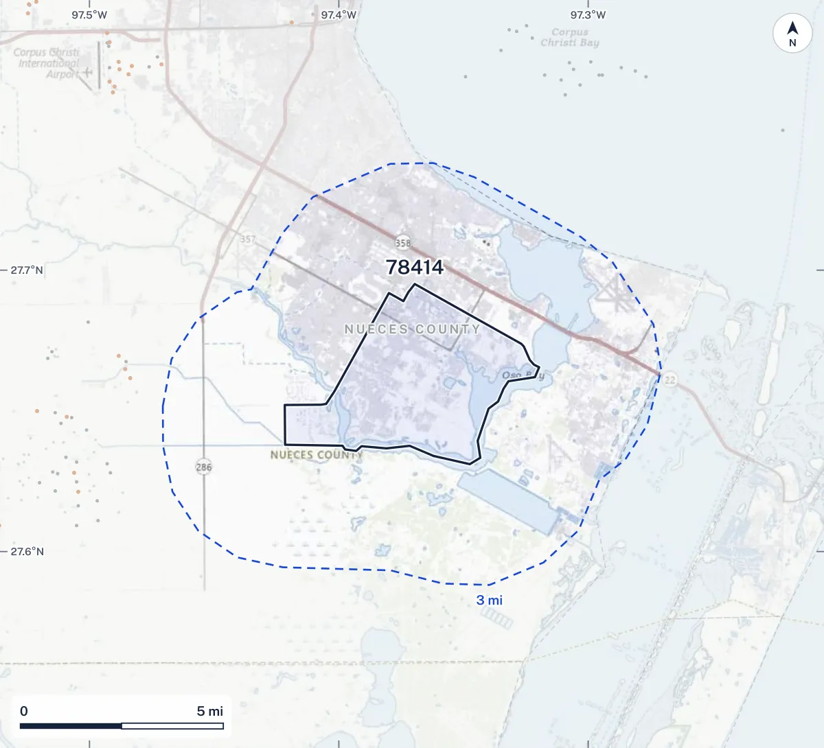
<a href="https://royaltyclerk.com/texas/zip/78414"><img src="https://royaltyclerk.com/maps/zip/78414.svg" alt="Map of ZIP code 78414, Texas, outlined, with 0 oil and gas wells inside it and 1 within 3 miles of its edge as dots, and 0 drilling locations permitted in two years." width="1000" height="908" loading="lazy" style="max-width:100%;height:auto;border:0"></a>
<p style="margin:4px 0 0;font-size:14px">Map: <a href="https://royaltyclerk.com/texas/zip/78414">Oil and gas wells in ZIP code 78414, Texas</a> by Royalty Clerk, from Railroad Commission of Texas records</p>
In numbers
Wells in 78414 and within 3 miles
| What | Inside 78414 | Within 3 miles |
|---|---|---|
| Producing wells | 0 | 0 |
| Not producing wells | 0 | 0 |
| Plugged wells | 0 | 1 |
| Drilling permits, last 24 months | 0 | 0 |
| All wells | 0 | 1 |
ZIP code 78414 covers 14 square miles of land and 0.7 of water.
Nearest wells
The wells nearest the middle of 78414
- 1Bratton 14.3 mi SWPlugged · API 42-355-33134 · Rodessa Operating Company
- 2Sabco St 71 17.3 mi NNot producing · API 42-355-33934 · White Marlin Operating Co, LLC
- 3TSL 33105/ Tr 53/ 97.4 mi NENot producing · API 42-355-33536 · White Marlin Operating Co, LLC
- 4Albrecht Unit 17.5 mi WPlugged · API 42-355-34047 · Western Gulf Oil & Gas, LLC
- 5Smith 27.6 mi WProducing · API 42-355-34046 · JC Bear Operating LLC
- 6TSL 33105/ Tr 53/ 7 L7.7 mi NNot producing · API 42-355-33369 · White Marlin Operating Co, LLC
Around it
Towns and ZIP codes around 78414
FAQ
Questions people ask
Are there oil or gas wells near 78414?
None inside it, but 1 oil and gas well lies within 3 miles of ZIP code 78414's edge, 0 of them on producing leases. The state issued no drilling permit with a well location within 3 miles in the last 24 months.
Is this the same area as the Postal Service's ZIP code?
Nearly. The Postal Service does not publish ZIP code boundaries, so we use the US Census Bureau's ZIP Code Tabulation Area for 78414, built from census blocks where most addresses use that ZIP. The edges can differ from mail delivery by a street or two, and a few ZIP codes (post office boxes, single buildings) have no area of their own.
Do I own minerals under a well in 78414?
A well nearby says nothing about who owns the minerals under it. The county's mineral roll lists who is paid on each producing lease. Search a name to see whether the Nueces County roll lists it.
Where do the numbers come from?
Every dot is a well location from the Railroad Commission of Texas well layers, or a drilling permit's surface location from its permit files, issued in the last 24 months. A well counts as producing when its lease reported oil or gas in its newest months, and as plugged when the state's wellbore record says so. Nothing on this page comes from owners or from addresses.
Own land or minerals near 78414?
See whether a county roll lists your name, and get an email when a permit or a new well is filed near you.
Sources
This page is left out of search engines until 10 or more wells lie inside the ZIP.
- US Census Bureau, 2020 ZIP Code Tabulation Areas, cartographic boundary file at 1:500,000 (cb_2020_us_zcta520_500k)www2.census.gov/geo/tiger/GENZ2020/shp/cb_2020_us_zcta520_500k.zip · file of May 19, 2023, read November 14, 2026
- Railroad Commission of Texas, well layers and drilling permit fileswww.rrc.texas.gov/resource-center/research/data-sets-available-for-download/ · loaded as the state publishes them; figures kept six hours
- US Census Bureau, cartographic boundary files (county lines), through the us-atlas package 3.0.1www.census.gov/geographies/mapping-files/time-series/geo/cartographic-boundary.html · built into the site with its well maps
- GeoNames, towns and their points (CC BY 4.0)www.geonames.org/ · built into the site with its town pages
- USGS The National Map, basemap services (topo and imagery map under the wells), public domainapps.nationalmap.gov/services/ · tiles drawn under the map when it is made